


Заполните Ваши данные, мы с вами обязательно свяжемся

 What is a Topographic Survey?

– A topographic survey is a set of geodetic activities aimed at creating detailed maps and plans of the terrain, engineering networks, and buildings. This data is necessary for design, construction, and assessment of existing objects. The survey helps determine the boundaries of the site, relief, and engineering communications, which greatly simplifies the planning process and prevents possible errors during construction and operation.

 Goals of Topographic Survey
The main goals of a topographic survey include:
Collection of accurate data on the terrain and engineering communications for design.
Determining the boundaries of plots and the location of buildings for coordination with planning documents.
Providing accurate geodetic information for construction and engineering works.
Control over compliance of the completed works with the project at all stages of construction.
Topographic Survey Objects

Private land plots and cottage settlements.
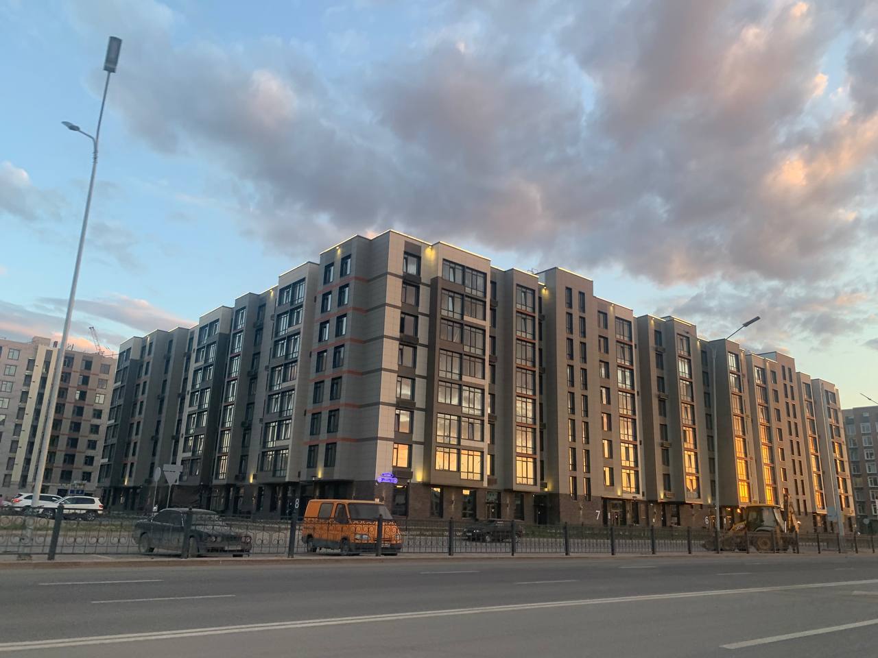
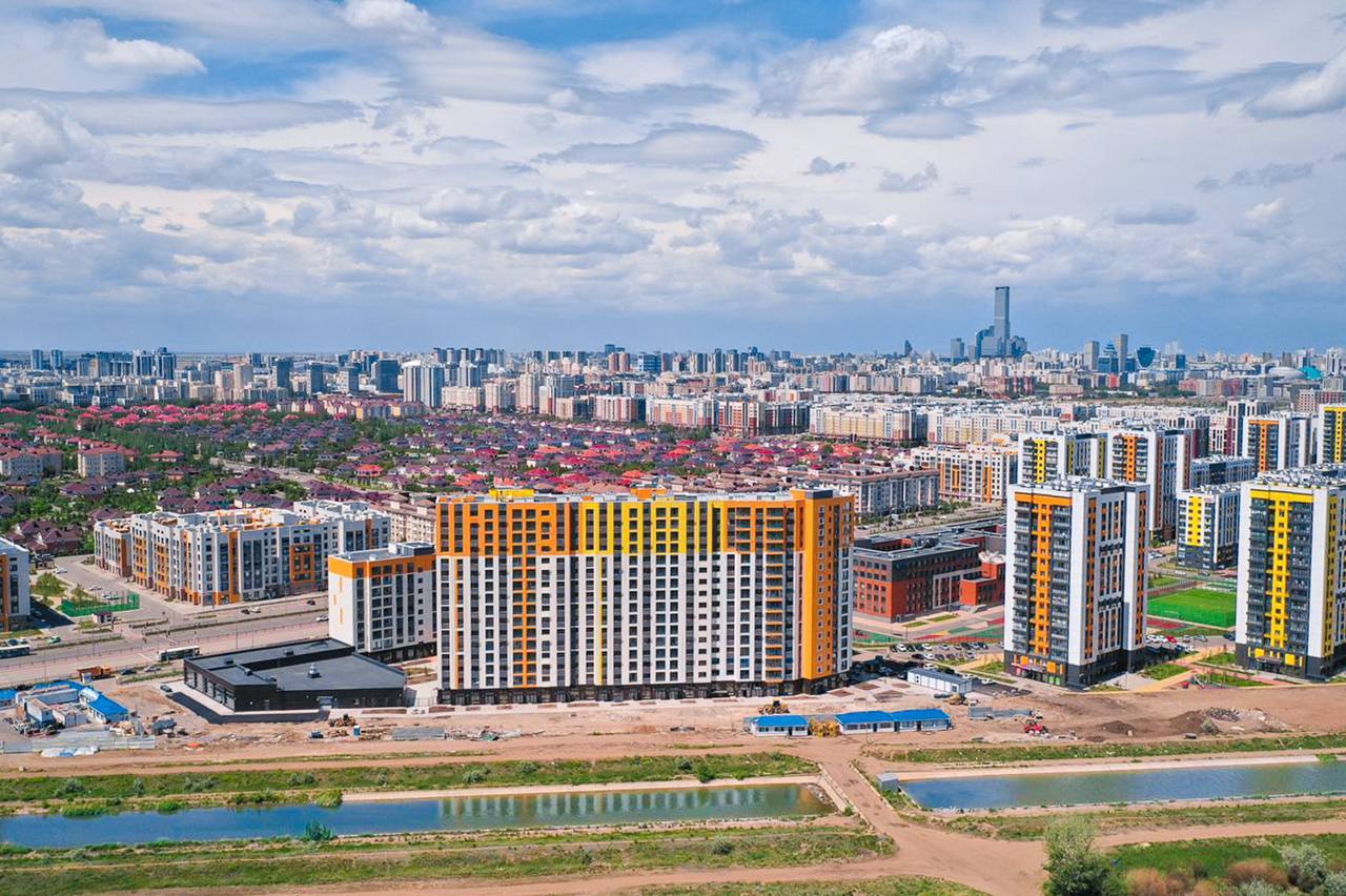
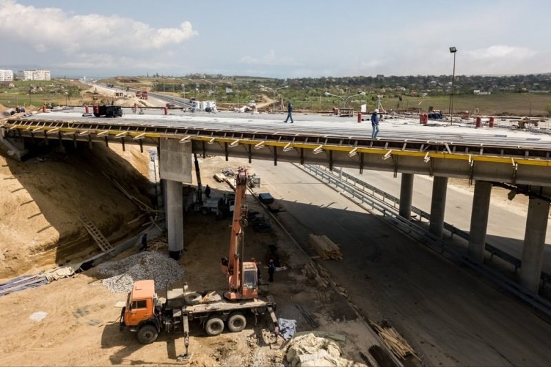
Urban developments and infrastructure
Industrial facilities and plants.
Road construction and transport hubs.
Engineering networks (water supply, gas, power grids).

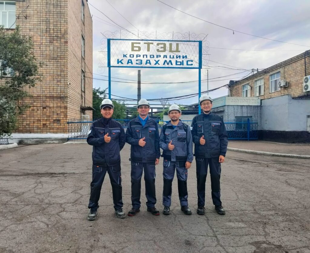
Our team consists of professionals with many years of experience in geodesy. We are proud of our team:
Kuzdaev Mirhat — surveyor, Astana.
Saduov Arman — surveyor, Almaty.
Yesirkepov Bauyrzhan — head of the geodetic service, Astana.
According to these Rules, an energy audit consists of 4 main stages:
Stages of Topographic Survey
1
Preliminary
planning and preparation
2
Field
work
3
Office
data processing
4
Delivery
to the customer
01
Preliminary planning and preparation:
task analysis, determination of work scope and selection of survey methodology.
02
Field work:
Incoming quality control of materials used in the construction of bridges and roads.
03
Office data processing:
Regular monitoring of construction progress, checking the correctness of installation and welding works, compliance with deadlines and standards.
04
Delivery to the customer
providing the customer with finished drawings, diagrams, and reports in accordance with project requirements.

Send your project and get free optimization
 We will help to eliminate or improve processes without loss of quality
We will explain how to save, use more profitable and equally high-quality materials
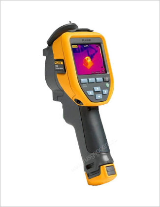
 Equipment used for topographic survey
The main goals of a topographic survey include:
Industrial drones

Modern theodolites and GNSS equipment

Software for data processing
 Partners


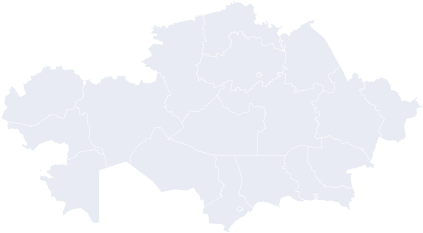
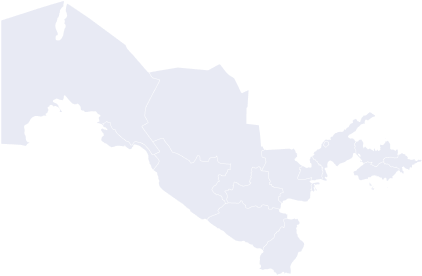
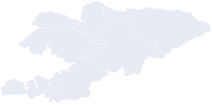
![]() Project geography: We work throughout Kazakhstan and in major cities of Kyrgyzstan and Uzbekistan
Project geography: We work throughout Kazakhstan and in major cities of Kyrgyzstan and Uzbekistan
Kazakhstan
Uzbekistan
Kyrgyzstan
Kazakhstan
Uzbekistan
Kyrgyzstan
Leave a request and we will optimize your project for free
Fill in your details and we will definitely contact you
Связаться