


Заполните Ваши данные, мы с вами обязательно свяжемся

 What is Geodetic Layout?

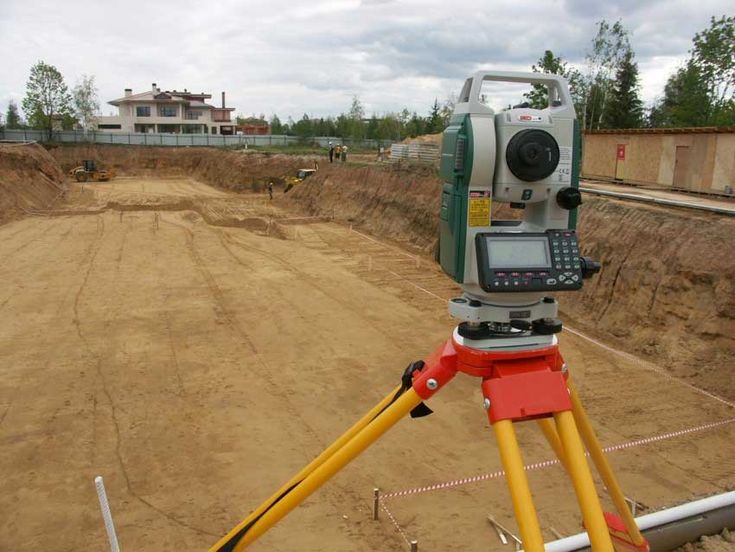
– Geodetic layout is the process of transferring design data from drawings to the site for the precise execution of construction works. This stage is necessary for the correct placement of buildings, structures, roads, and other infrastructure objects on the site, in accordance with the project documentation. The work is carried out using specialized geodetic equipment to achieve maximum accuracy and prevent errors at all stages of construction.
 Goals of Geodetic Layout
Main goals of geodetic layout:
The main goal of geodetic layout is to ensure that construction matches the project and to prevent errors that may affect the operational characteristics and safety of objects. During the layout process, precise coordinates and benchmarks are created, which are used to place structures in their design positions by horizontal and vertical marks.
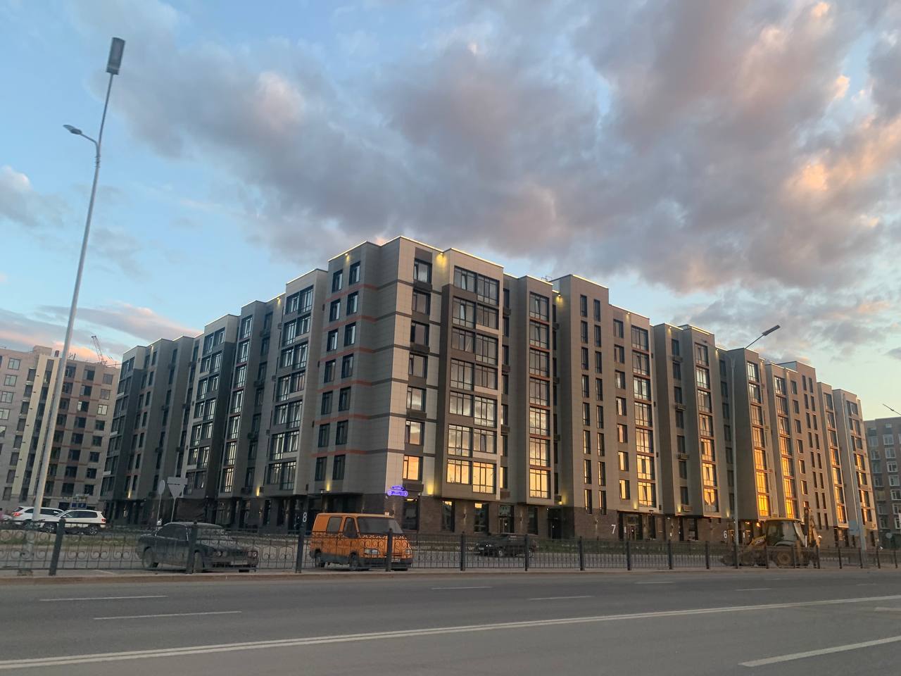
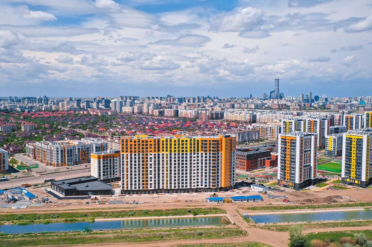
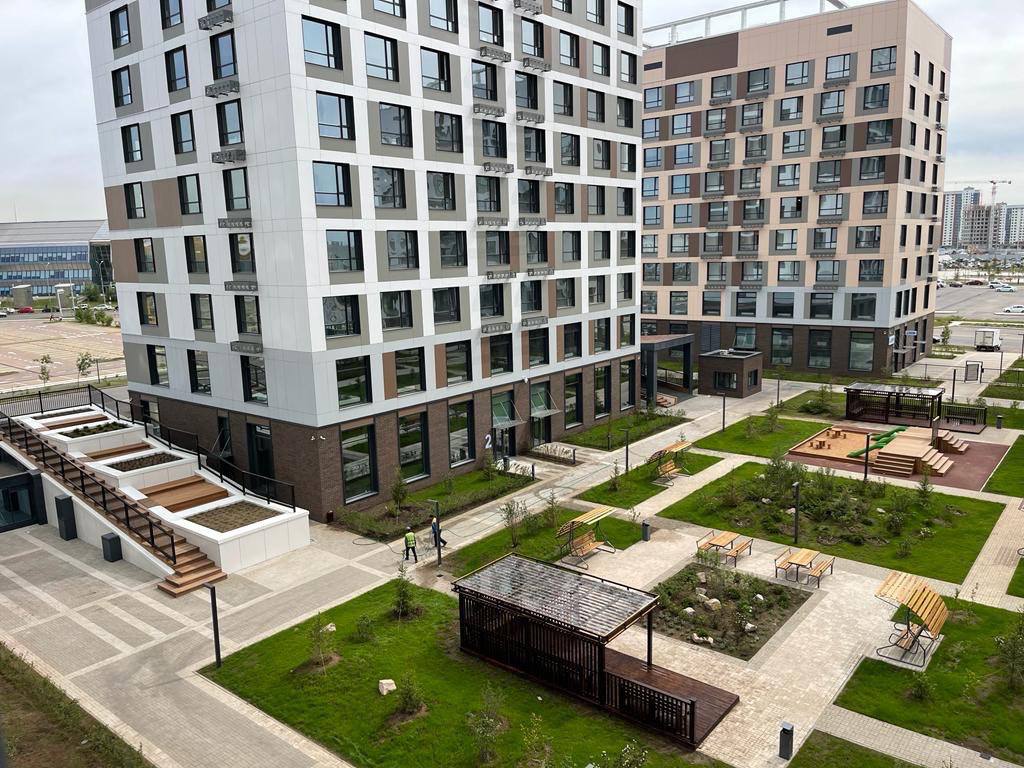
Objects where Geodetic Layout was performed

Residential and commercial buildings
Industrial enterprises
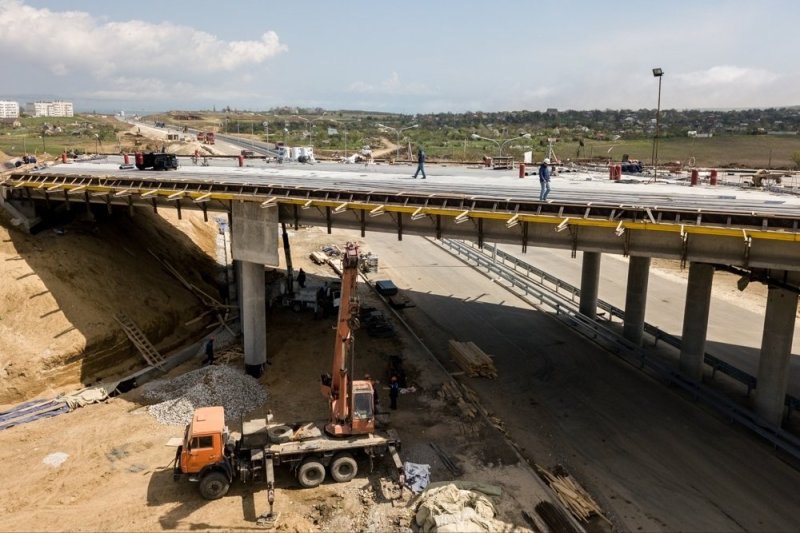
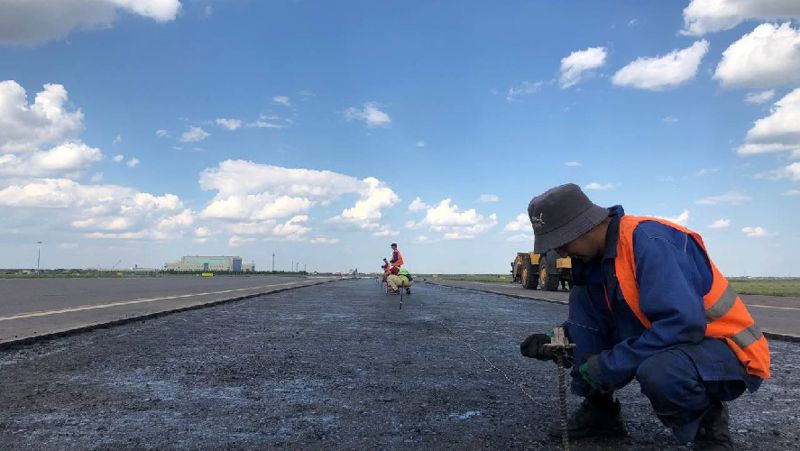
Road and infrastructure facilities
Engineering networks (water supply, sewerage, power grids)
Landscaping objects

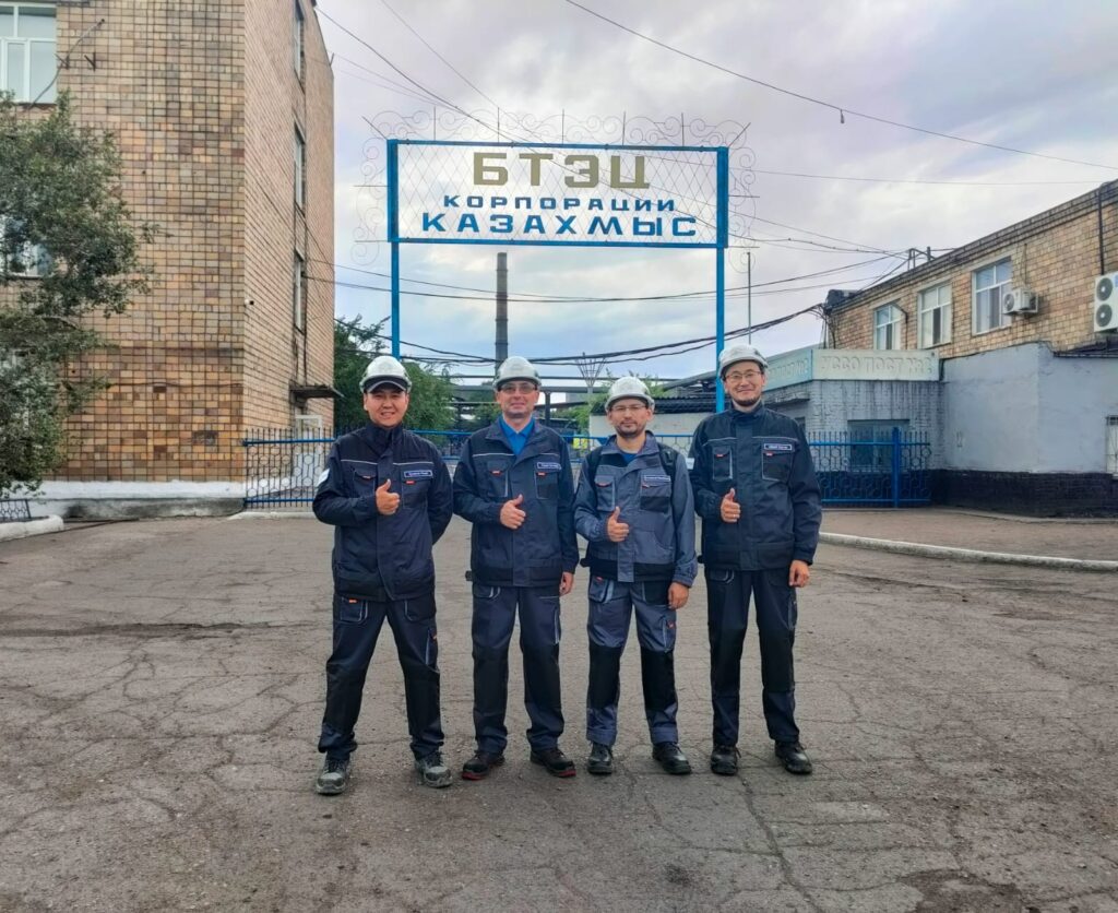
Our team consists of highly qualified specialists with many years of experience in geodesy:
Mirhat Kuzdaev – Surveyor, Astana
Arman Saduov – Head of Geodetic Service, Astana
Bauyrzhan Yesirkepov – Surveyor, Almaty
Vladimir Igitov – Surveyor, Shymkent
According to these Rules, an energy audit consists of 5 main stages:
Stages of Technical Supervision of Bridges and Roads
1
Data
Preparation
2
Preliminary
Marking
3
Setting out axes and benchmarks
4
Control
Measurements
5
Documentation
01
Data Preparation:
Collection and analysis of project documentation, topographic data, and other initial data.
02
Preliminary Marking:
Determining key points on the site that correspond to the main elements of the project.
03
Setting out axes and benchmarks:
Fixing control points and axes of the object on the site using geodetic equipment.
04
Control Measurements:
Checking the accuracy of the work performed and eliminating possible deviations from the project.
05
Documentation:
Preparation of as-built drawings and acts of completed work to confirm the accuracy of the layout.

Send your project and get free optimization
 We will help to eliminate or improve processes without loss of quality
We will explain how to save, use more profitable and equally high-quality materials
 Partners


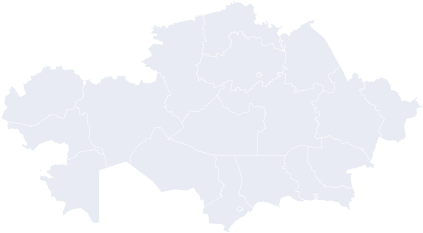
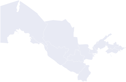
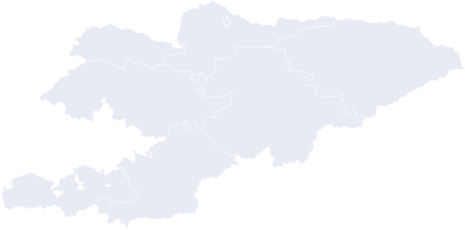
![]() Project geography: We work throughout Kazakhstan and in major cities of Kyrgyzstan and Uzbekistan
Project geography: We work throughout Kazakhstan and in major cities of Kyrgyzstan and Uzbekistan
Kazakhstan
Uzbekistan
Kyrgyzstan
Kazakhstan
Uzbekistan
Kyrgyzstan
Leave a request and we will optimize your project for free
Fill in your details and we will definitely contact you
