






Заполните Ваши данные, мы с вами обязательно свяжемся

20 million tenge
saved for the client by identifying overstatement of area by 1000 sq.m

15 times
saved time for the client during executive survey of structures in Astana
“> Наши услуги

Topographic survey of the terrain

Setting out building and structure axes

Setting out benchmarks for construction
Not sure which service suits your needs?
Our specialists are ready to help you choose the right service and provide an estimate of the scope and cost of work
Submit a request
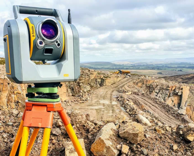
Conducting geodetic surveys is necessary to identify areas on the ground that are potentially hazardous to the structure being built. If there is an objective possibility of land collapse, flooding, or the influence of negative technogenic factors on the terrain structure, geodetic engineers will identify these nuances during the work.
Conducting engineering and geodetic surveys is necessary for:
 Construction design
 Ensuring the suitability of the object for operational purposes;
Improving the technical characteristics of the new building: durability, integrity, strength;
Identifying the possibility of connecting and integrating the new building to existing utility networks.
 Results of engineering and geodetic surveys
Textual part
01
About the work performed under the contract
02
Physical and geographical information about the site where the
03
Construction site is located
04
About the methods and technologies engineers used during the research
05
Information about the technical control carried out at each stage of work
Graphical part
01
Results of the surveys conducted
02
Cartogram
03
Topographic map of the area
04
Topographic plans on paper and in digital format
05
Statements
06
Acts
07
Other documentation
Other directions
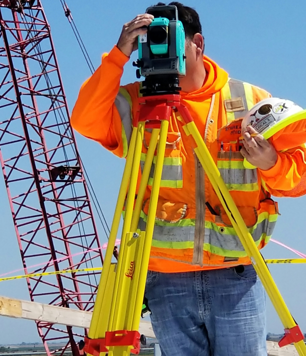
Geodetic survey
Detailed and accurate cartographic data
for planning and design.
 Survey and inspection of the excavation pit
Survey and inspection for deviations in monolithic works (vertical and horizontal structures)
Survey and inspection for deviations in masonry
Survey and inspection for deviations in windows and stained glass
Survey and inspection for deviations in bracket axes
Survey and inspection for deviations in guides
(along the plane and facade axis)
Survey and inspection for deviations in guides
(along the plane and facade axis)
Survey and inspection for deviations from the project
external networks
Survey and inspection for deviations from the project
landscaping and road construction
(plan position and elevation marks)
Geodetic surveys
Detailed and accurate cartographic data
for planning and design.
Topographic survey of the terrain
(indicating networks, structures, etc.)
Setting out building and structure axes
(providing an act of setting out axes)
Setting out benchmarks for construction
(providing an act of setting out benchmarks)
Survey and volume calculation
Calculation of the actual volume of work performed during construction
Survey and volume calculation during excavation pit development
Survey and volume calculation of the facade
Survey and volume calculation of embankments
(sand, gravel, crushed stone, etc.)
Survey and volume calculation of the road surface
(by structural layers)
Survey and volume calculation of the facade and stained glass
Geodetic layout
Transferring the project “from paper” to the ground.
Layout of the excavation pit
Layout of points and main axes of the pile field
Layout of axes or setting out corners during monolithic works
Layout of brackets during facade works
Layout of guides during facade works
Layout of anchors
Layout of external networks according to the project
(by position and elevation marks)
Layout of landscaping during road construction
(plan position and elevation marks)
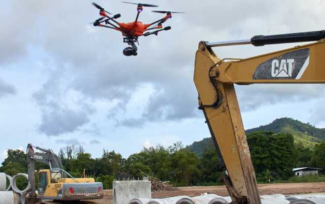
We use
an industrial drone
for construction quality control
identifies deviations from the project in hard-to-reach places
allows remote monitoring of construction progress
provides up-to-date and visual information about construction progress
Submit your project and get free optimization
 We will help eliminate or improve processes without loss of quality
We will explain how to save money, use more profitable and no less quality materials
Partners














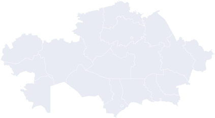
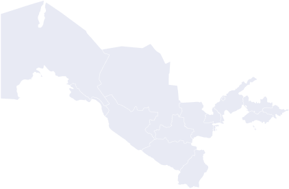
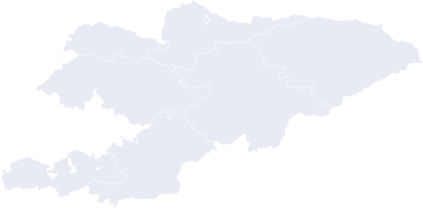
 Project geography: We work throughout Kazakhstan and in major cities of Kyrgyzstan and Uzbekistan
Kazakhstan
Uzbekistan
Kyrgyzstan
Kazakhstan
Uzbekistan
Kyrgyzstan
Submit your request and we’ll optimize your project for free
Fill in your details, we will definitely contact you