

Заполните Ваши данные, мы с вами обязательно свяжемся
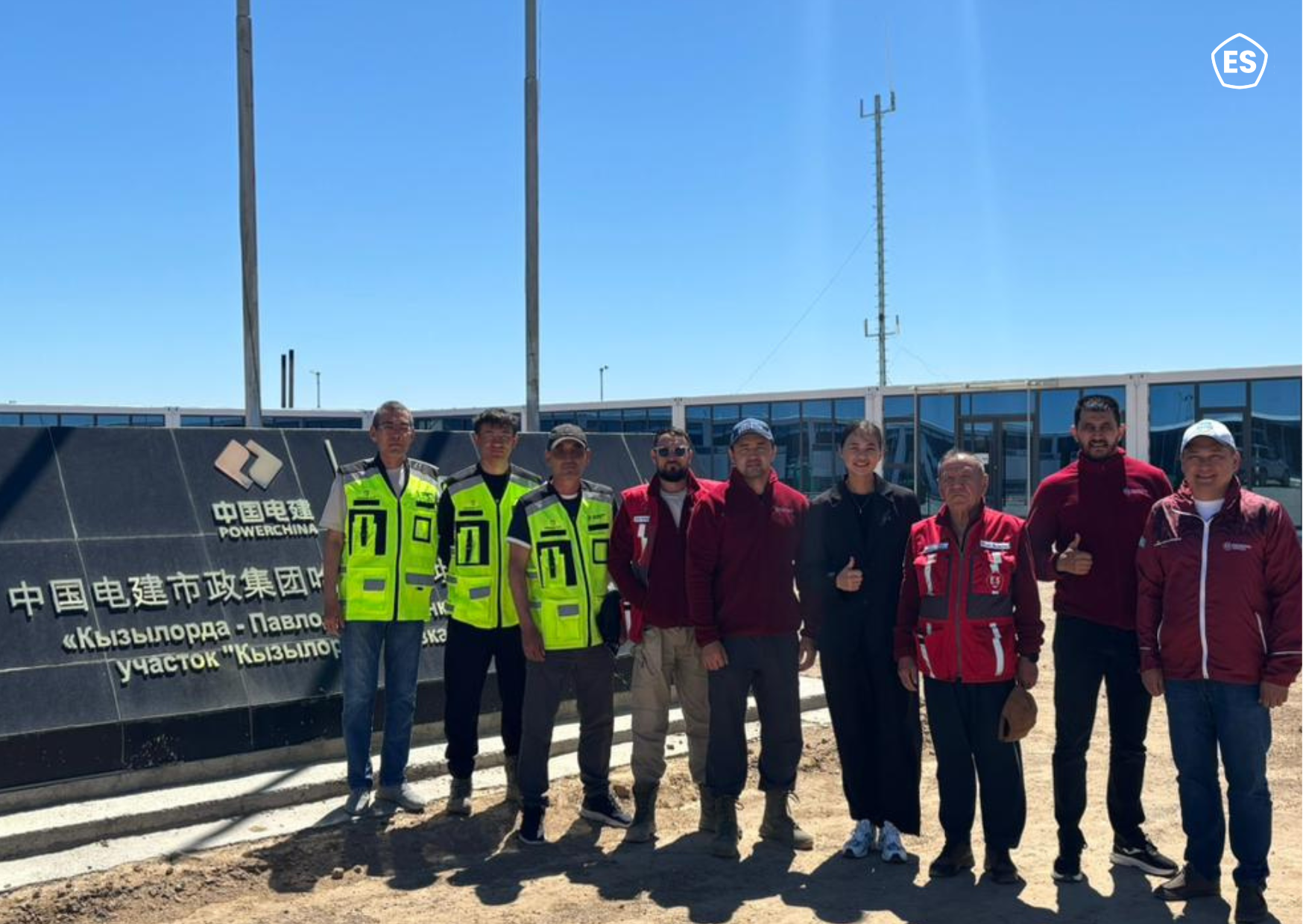
Today, we visited one of the sites where a surveyor from Engineering Services is working. During the visit, the specialist conducted measurements on the site, recorded coordinates, and verified that the work being carried out complies with the design data.


At first glance, this work may seem invisible, but it is where any construction begins. Geodesy is the foundation that defines the accuracy of the entire project. Before construction starts, specialists determine the position of the future structure on the terrain, transfer the design “into reality,” and set key parameters that guide all participants in the project.
Geodesy continues to support the project at every stage. Specialists regularly visit the site, carry out control measurements, check how accurately the work is being performed, and record any deviations. This makes it possible to identify errors in time and adjust the process before they affect the final result. In their work, surveyors use modern equipment—total stations, GPS receivers, and other tools that allow them to obtain highly accurate data. However, even with advanced technology, the experience of the specialist and attention to detail remain crucial.


Errors at the measurement stage can lead to serious consequences, from structural misalignment to the need for rework. That is why geodesy directly affects not only quality but also the safety of the future structure. The work of a surveyor requires high concentration, precision, and responsibility. It involves constant interaction with other project participants and an understanding of how each measurement impacts the overall outcome.

Geodesy remains one of the parts of the construction process that often goes unnoticed, yet without it, no project can be realized. It provides the precision upon which everything else is built.
 0
0
Похожие статьи